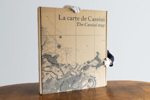
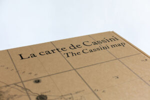
The Cassini map


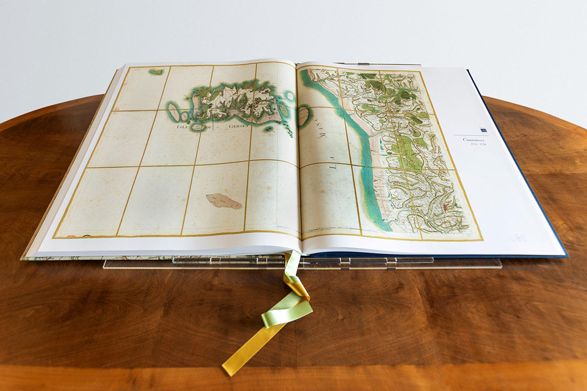
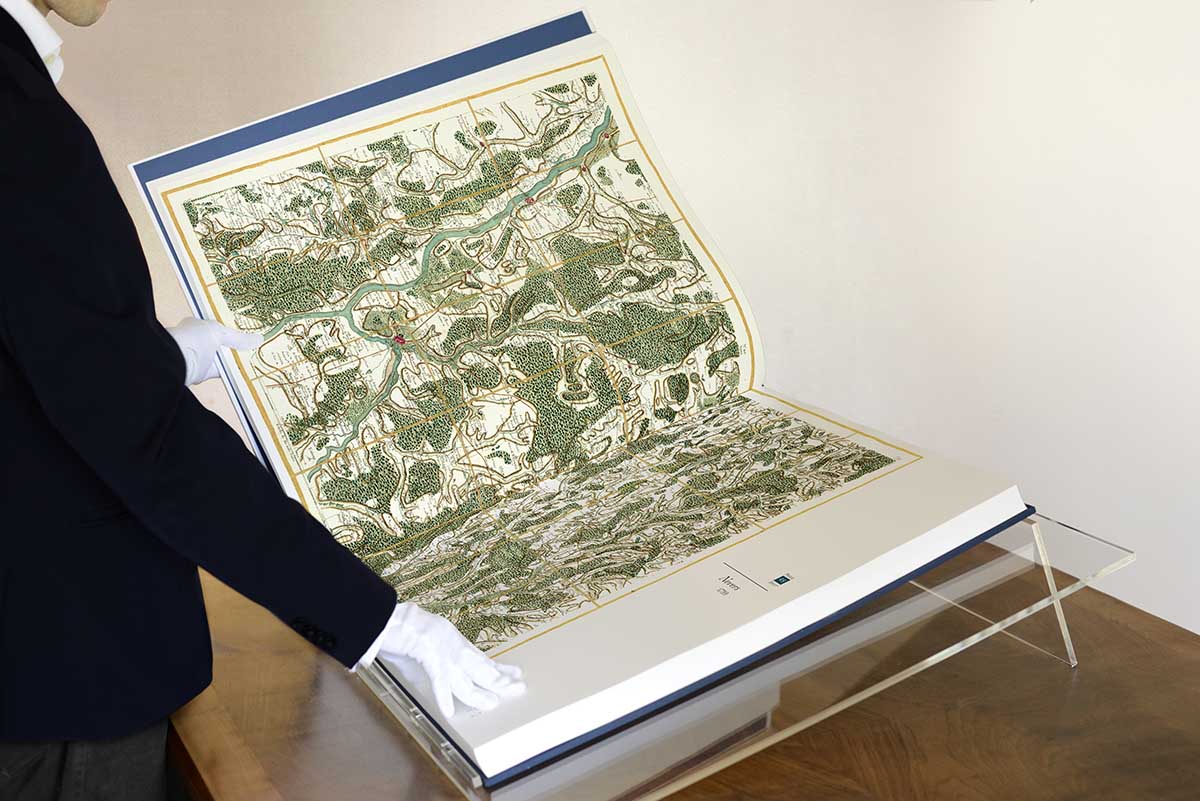


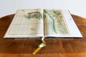
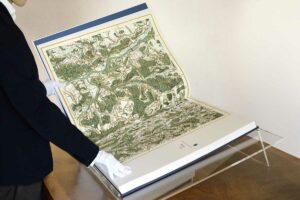


 Emerging from the collaborative endeavours of four generations of astronomers, mathematicians, topographers, draftsmen, and engravers, culminating in its publication in the 18th century, this legendary map was the first detailed representation to encompass the entire kingdom of France. This monumental work, spanning over eleven meters in width and twelve in height when laid out, came to exist through the alliance of a dynasty of scholars, buoyed by the support of French royalty.
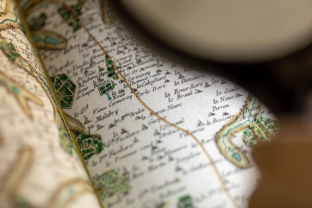
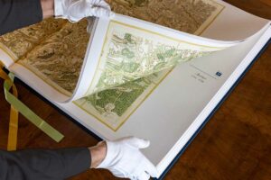
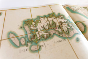
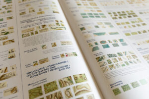
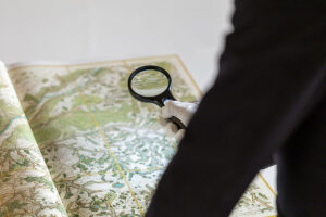
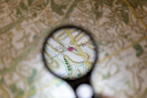
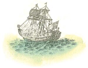
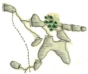
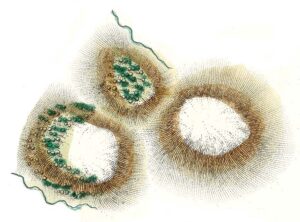
Beyond its status as a precious historical document and world-famous chef d’œuvre, it is also a window into 18th century France, and a visual masterpiece in its own right. Each and every segment reveals little treasures in the details and illustrations.
This tome embodies an artistic endeavour of extraordinary scope, offering readers the chance to peruse the sections of this unique artefact of French history, compiled into a single volume for the very first time.
 Scientific editor of the publication and author of the introduction: Jean-Luc Arnaud
Jean-Luc Arnaud is an architect and historian of the contemporary period. He is research director at the French National Centre for Scientific Research (CNRS), working at the intersection of history and geography. Since the beginning of the 2000s, after founding the website CartoMundi dedicated to the promotion of cartographic heritage, he has focused most of his research on the uses and the history of maps. The author of several publications and numerous scientific papers, he is president of the association Le monde à la carte.
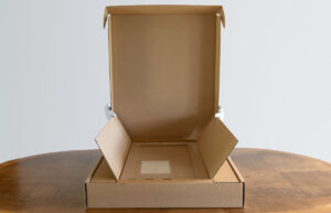
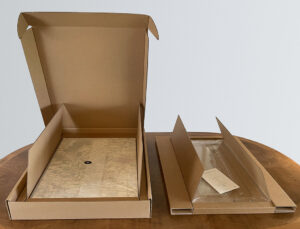
Book Features
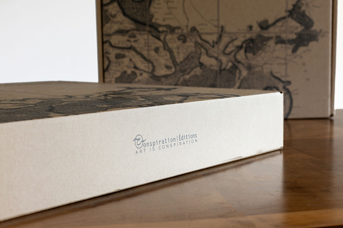
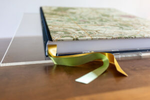
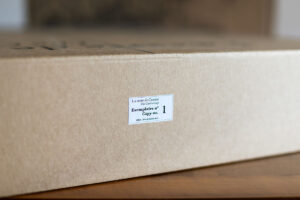
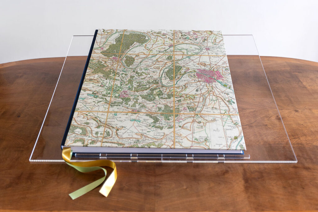
Binding: 3-piece Bodonian style
Front cover: Imitlin Tela Neve 125 gr
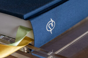
Spine and back cover: Cialux blue cloth with hot stamping
Inside paper: Garda pat kiara 150 gr
Weight: 15 kg (33,1 lbs)
ISBN : 979-10-95550-46-4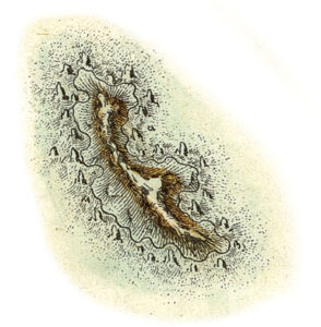
Printed by EBS (Vérona, Italy)
L’exception / un – March MMXXIV


 All French people, all scholars, all map collectors know or have heard of Cassini’s work and his masterful cartographic oeuvre. Made possible thanks to a dynasty of scholars and the support of the royal power, the first detailed representation of the kingdom of France as a whole was published during the second half of the eighteenth century. As evidenced in the archives, it is also a document drawn up according to the most advanced techniques and methods of calculation of the time, both for its geodetics and its topography. It is also major in size: when gathered, the 181 sheets constitute a painting spreading over more than eleven metres wide by twelve metres high. A true monument that will have no equivalent in the world for over a century.
 The Cassini map – or should we say the Cassinis map – is the result of the labour of four generations of astronomers, mathematicians, topographers, draftsmen and engravers. This “Cassini affair” began in 1669 with the arrival in France of the grandfather of the map’s publisher, Jean-Dominique Cassini, an astronomer invited by Colbert to work in the newly established Paris Observatory. While the publication began under Louis XV, it is indeed his illustrious great-grandfather, Louis XIV, who, by creating the Academy of Sciences, encouraged and supported research in astronomy and geodetics.
 The first sheets were published in 1756; fieldwork, writing and editing then continued for about thirty years. The Cassini map remained in use in the nineteenth century until the completion of the initial publication of the General Staff map in the mid-1860s. From then on, held in the Department of Antiquities, it became a precious testimony of pre-industrial France. As such, the copper plates, then held at the National Geographic Institute, were meticulously restored during the 1950s and it was still possible to acquire new prints until recently.
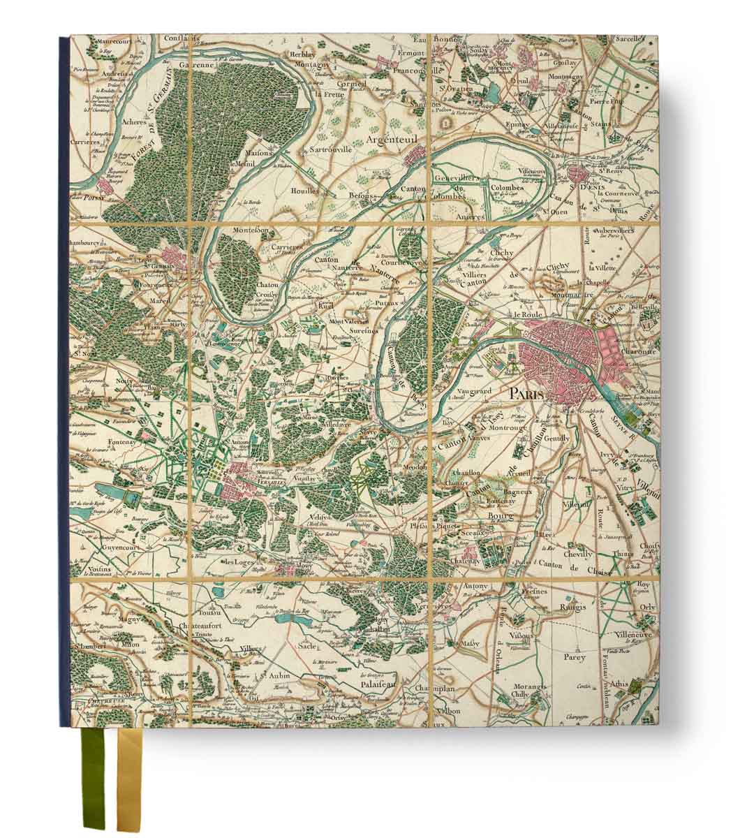
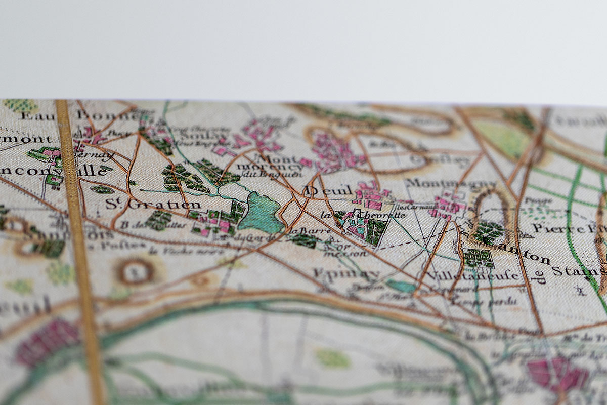
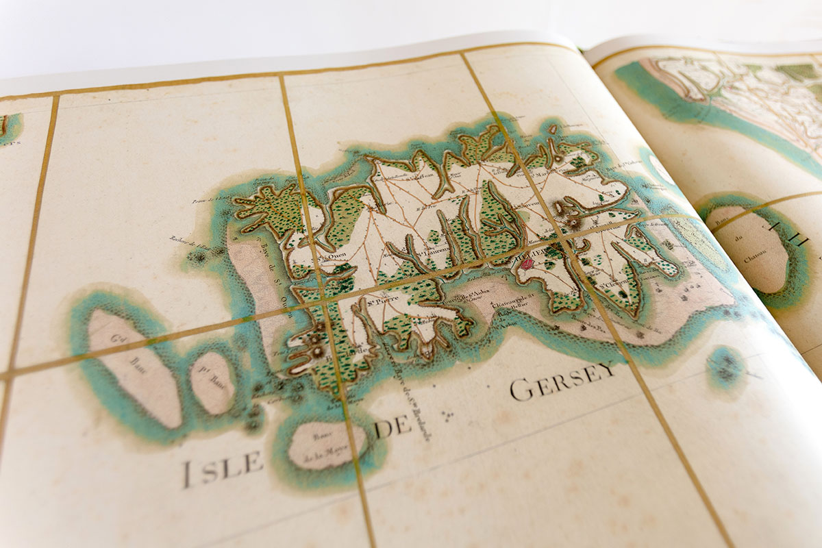
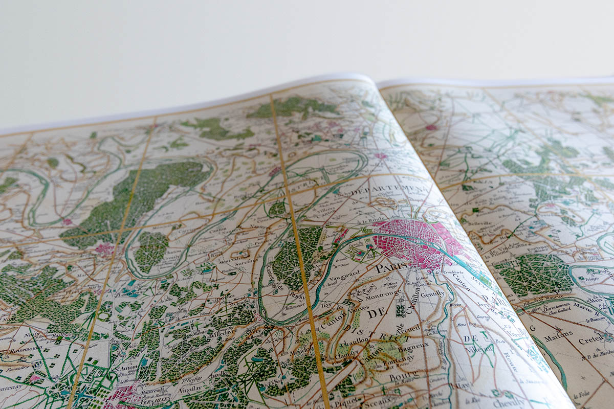
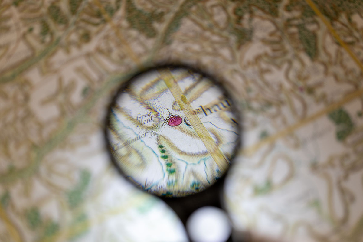
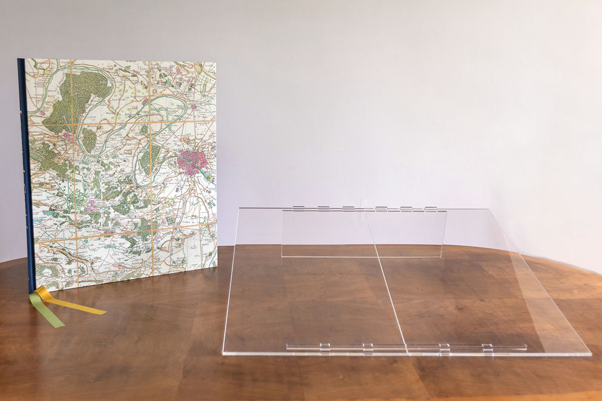
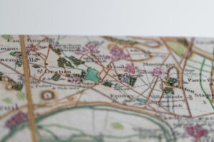
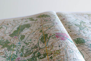
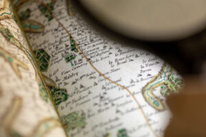
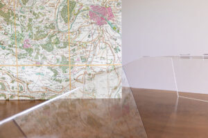
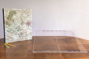
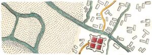
 2023 constitutes a new milestone with the release by Conspiration | Éditions of the full, life-size set of sheets of the Cassini map, gathered in an exceptional publication. For this version, the publisher chose to reproduce a deluxe copy, the so-called “Queen’s copy,” held in the reserves of the National Library of France (BNF). This copy, established during the 1780s, is not only a first-rate print but also a copy whose legibility was greatly improved by hand-colouring. Towns and villages are washed in red, woods are green, main communication routes bistre, steep slopes brown and water blue. These colours reveal a relief in each sheet that is missing from the black and white version. This unique piece is certainly the most beautiful, the clearest and the best version of the map. The quality of its print and colouration makes it a true masterpiece.
Jean-Luc Arnaud